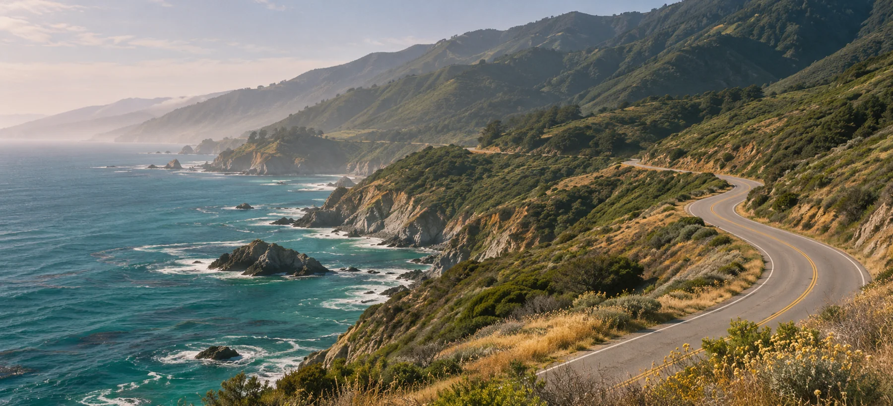
Between cypress and surf
The map gives this shoreline a simple blue edge. From the ground, it breaks into folds. At Point Lobos, trees frame narrow glimpses of water. Farther south, the brush drops away and entire headlands come into view. Take this stretch in small pieces. A lunch stop and two short walks give the road room to unfold.
Point Lobos
Turn off Highway 1 into Point Lobos State Natural Reserve, south of Carmel. Begin around the Sea Lion Point and Cypress Grove area. The trees grow into low, wind-shaped profiles here, and the sheltered spaces beneath them feel surprisingly still. At the edge, watch how the white water outlines the offshore rocks before the next swell wipes the drawing clean.
Soberanes Point
Continue south along Highway 1 to Garrapata State Park. Around Soberanes Point, the scale of the coast changes. Walk an open, signed coastal trail when access permits and find a viewpoint back toward the land. The ridges behind the road rise in long folds. They make an excellent counterpoint to all that water.
Garrapata Beach
Finish farther south at the signed Garrapata Beach access. Even from above, the long beach gives the eye a very different line to follow after the broken coves. Leave time to retrace the route north. The same rock formations read differently when they appear on the other side of the windshield.
Before you go
Check Highway 1 conditions and the two state park notices before leaving Carmel. Bluff paths and beach access can close after weather or erosion. Stop in designated parking areas and follow posted access signs.